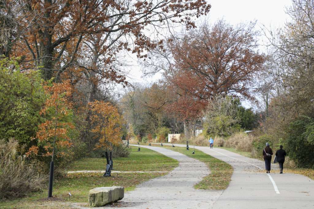
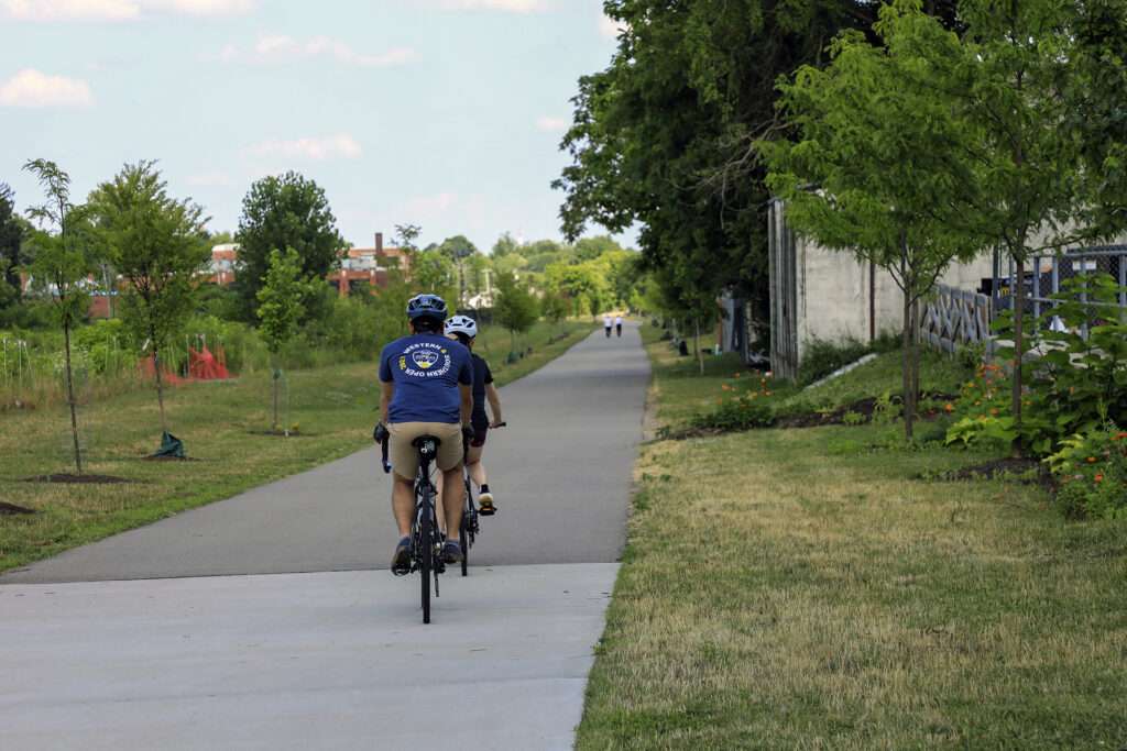
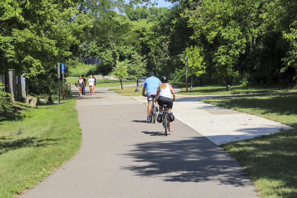
Wasson Way
Spanning 6 miles from Xavier University to downtown Mariemont, Wasson Way and the Murray Path make up a key east/west corridor in the CROWN.

The Wasson Way is a growing urban greenway trail in the CROWN network that creates a vibrant hub of community activity across the east side of Cincinnati.
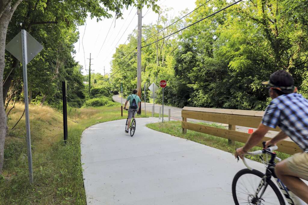
In 2021, Wasson Way connected to the eastern edge of Ault Park, and if you continue north along the quiet Old Red Bank Road for a quarter mile, you can connect to the Murray Path. Over the next two years, Wasson Way will extend west from its current terminus at Montgomery Road, continuing through Xavier University’s campus, connecting to Avondale at Blair Court, and ultimately linking into the new Uptown Innovation Corridor at MLK Drive. For the first time since the construction of I-71 in the 1960s, the neighborhoods of Avondale, Walnut Hills, Evanston, Norwood, Hyde Park, Mt. Lookout, and more are being reknit together by a vibrant trail corridor for walking, running, biking, and community.
Who it’s great for
Walkers, joggers, cyclists, commuters
What to look for
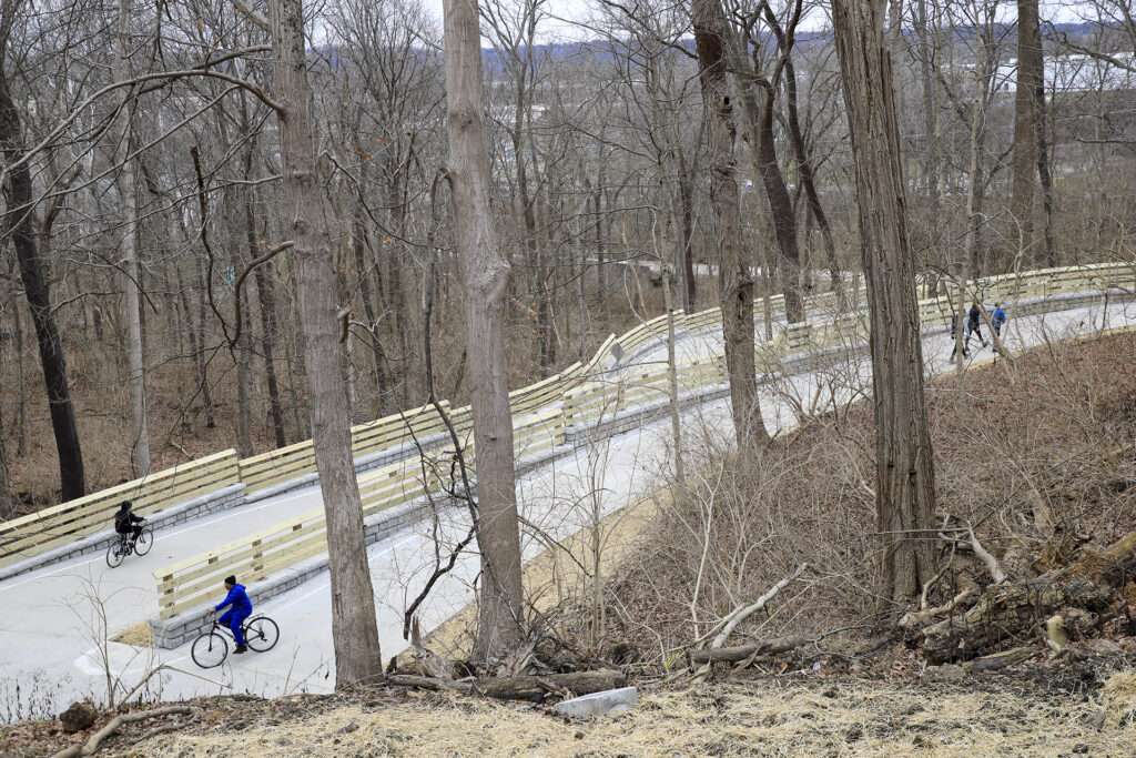
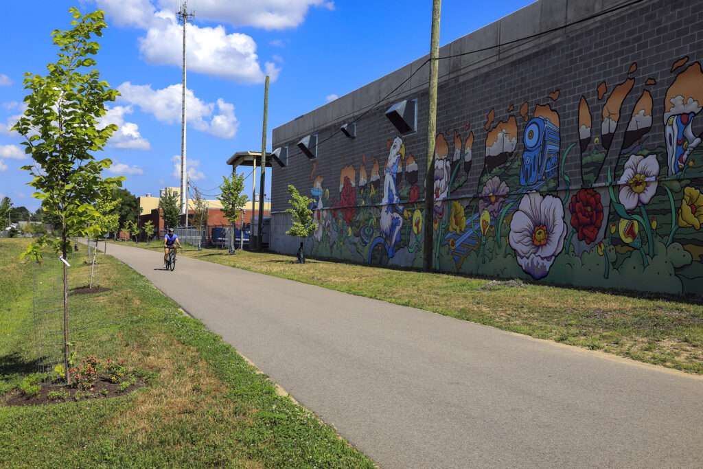
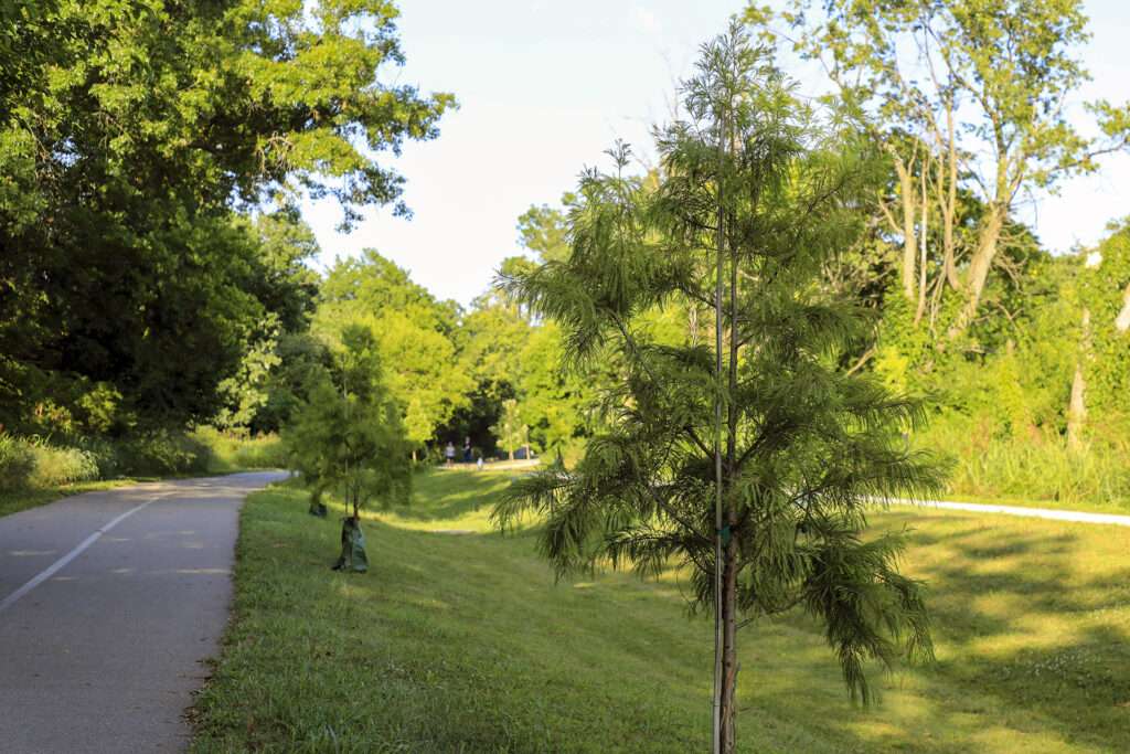
ArtWorks Electric Avenue mural by Christian Dallas, Cincinnati & Eastern railroad bridge with switchback in Ault Park, new tree plantings, and native flower gardens.
Where to visit
Xavier University, Withrow High School, Walnut Hills High School, Rookwood Commons shopping center, Busken Bakery, Hyde Park Plaza, Ault Park, downtown Mariemont


LENGTH
Wasson Way runs roughly 3.5 miles from Montgomery Road in Evanston to Old Red Bank Road in Fairfax, where it transitions to the Murray Path for another 2.5 miles to Plainville Road.
TERRAIN
Paved, urban
DIFFICULTY LEVEL
Easy-moderate
END POINTS
Montgomery Road at the edge of Xavier University's campus to Plainville Road in downtown Mariemont
COUNTIES
Hamilton
LEARN MORE
Connecting Wasson Way to the Murray Path
Cincinnati to request more state funds for Wasson Way Trail
It was electric: ArtWorks’ latest mural dedicated on Wasson Way

-5644")
CVG Loop Trail
CVG Loop Trail
Led by Boone County Fiscal Court, the Tower Loop Trail has made significant progress over the past several years. Nearly all the funds needed to finish the proposed 19.2 mile trail loop have been secured. Trail planning and design is underway, with construction of several trail extensions scheduled to take place over the coming years. For
-9585")
Lebanon-Countryside YMCA Trail
Lebanon-Countryside YMCA Trail
The Lebanon-Countryside YMCA Trail provides a direct, shared-use path connecting Historic Downtown Lebanon in the heart of Warren County and the Little Miami Scenic Trail, accessing numerous local attractions along the way and nearby. The paved terrain is mostly flat – with a few hills to keep things interesting throughout – providing an easy-to-moderate trail
-6793")
Oxford Area Trails
Oxford Area Trails
Oxford Area Trails make up a growing network of paved and accessible multi-use paths, connecting the wide variety of destinations the city and surrounding areas have to offer—from the Miami Natural Area Nature Paths to the city’s vibrant Uptown business district and everything in between.

CROWN
CROWN
The CROWN (Cincinnati Riding Or Walking Network) is a vision for a 34 mile urban, off-road trail loop in the heart of the Queen City. With nearly 24 miles complete, CROWN consists of four major trails already in development: Wasson Way, Little Miami Scenic Trail, Ohio River Trail, and Mill Creek Greenway.
-8185")
Riverfront Commons
Riverfront Commons
A recreational trail project connecting northern Kentucky river cities along the Ohio River.

Whitewater Canal Trail
Whitewater Canal Trail
Following a historic canal route through Indiana’s Whitewater River Valley, this trail offers undisturbed views of aqueducts, locks and wildlife.

Licking River Greenway Trail
Licking River Greenway Trail
Covington’s riverfront boasts a 2-mile braided trail network featuring a natural surface trail along the river, a paved multi-use trail on the levee, and a series of murals.

Mill Creek Greenway Trail
Mill Creek Greenway Trail
Once infamous as one of “America’s most endangered rivers,” the Mill Creek now proudly showcases diverse wildlife, public art, and an edible forest garden along its multi-use trail.
")
Ohio River Trail
Ohio River Trail
The Ohio River Trail – part of the 300+-mile Ohio-to-Erie Trail – is an in-progress multi-use path that, once completed, will stretch from Dearborn County in southeast Indiana across Hamilton County’s riverfront to Five Mile Road in Anderson Township.
-2731")