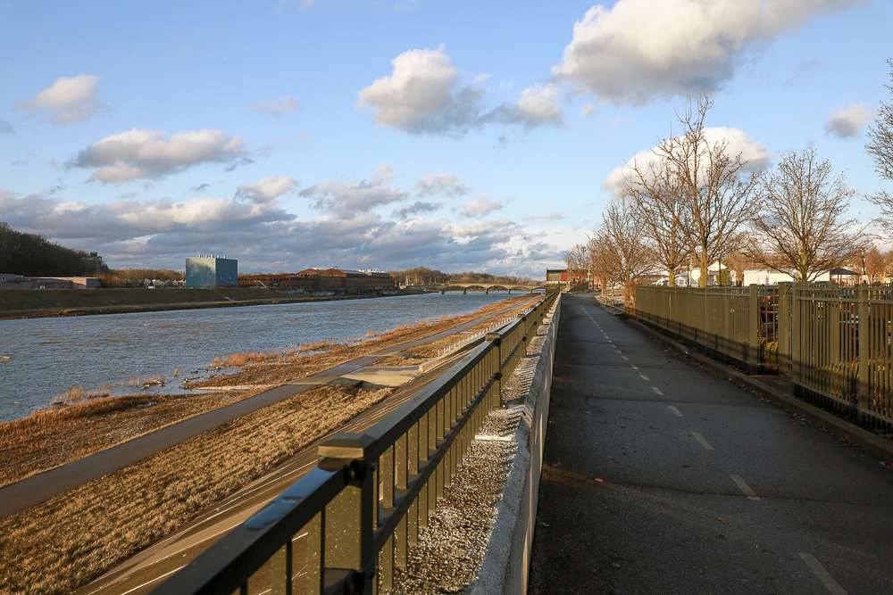
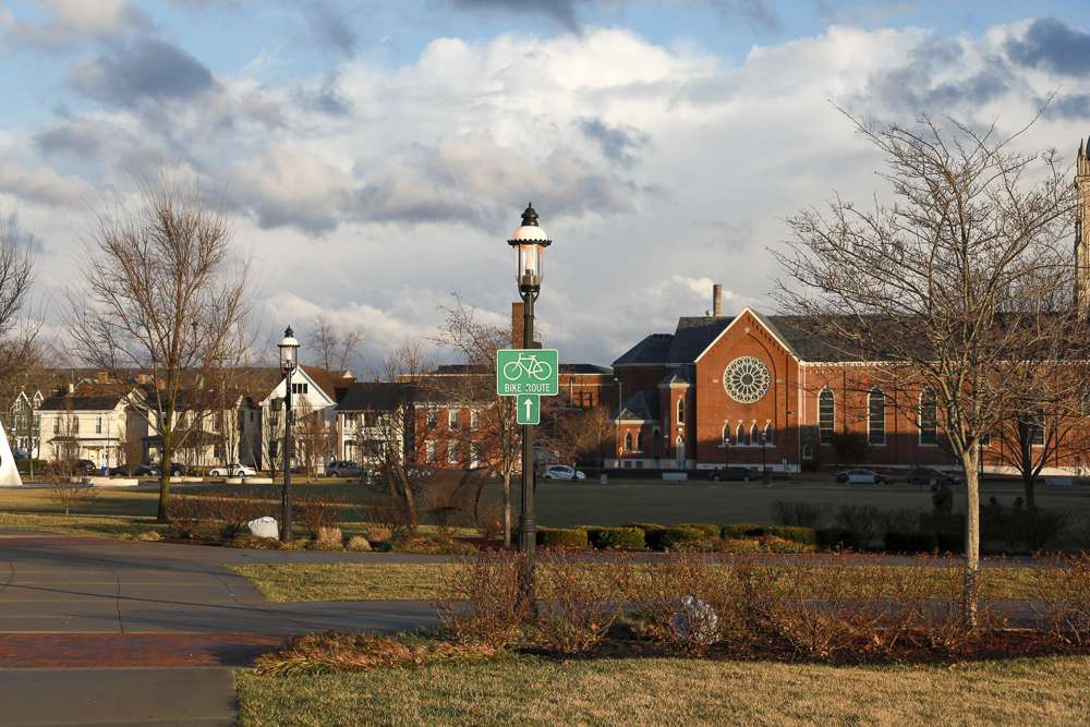
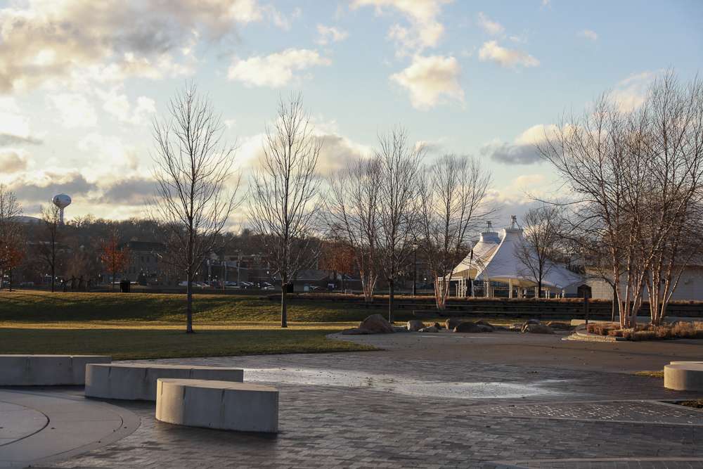
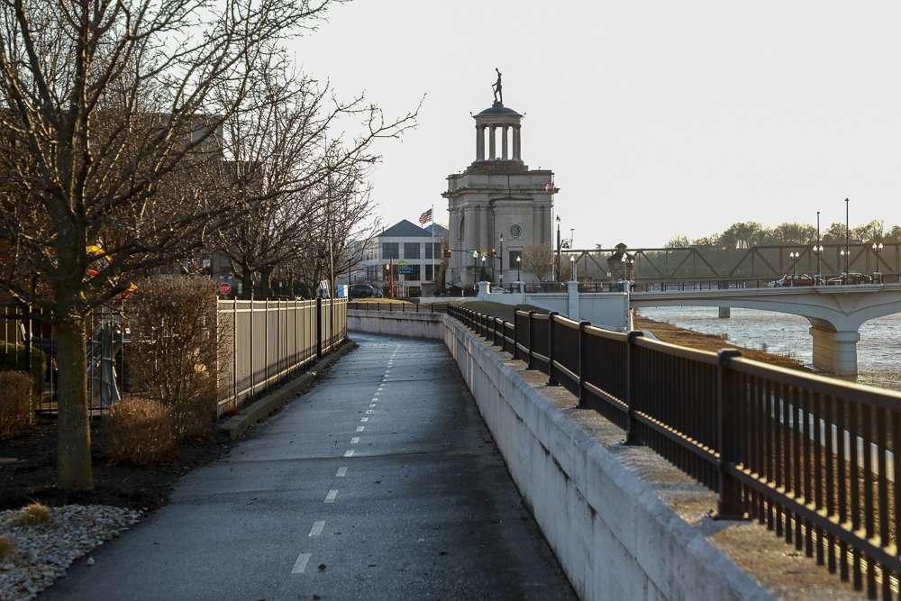
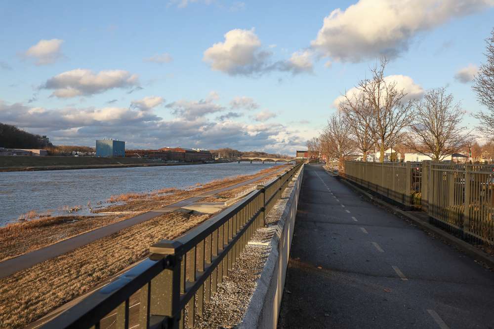
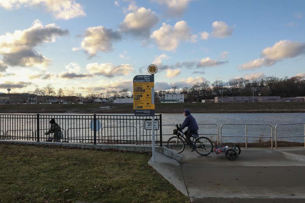
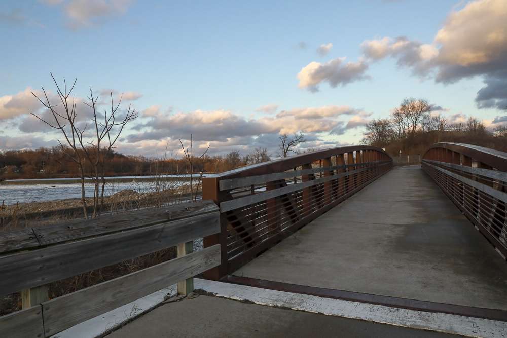
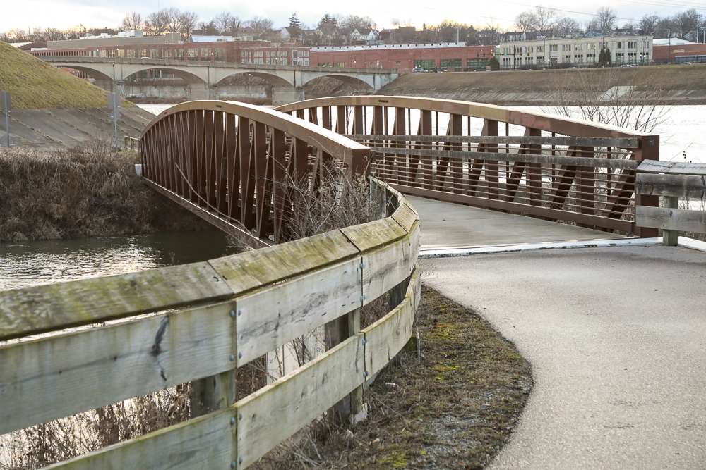
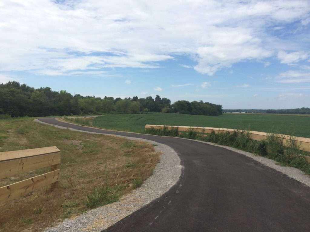
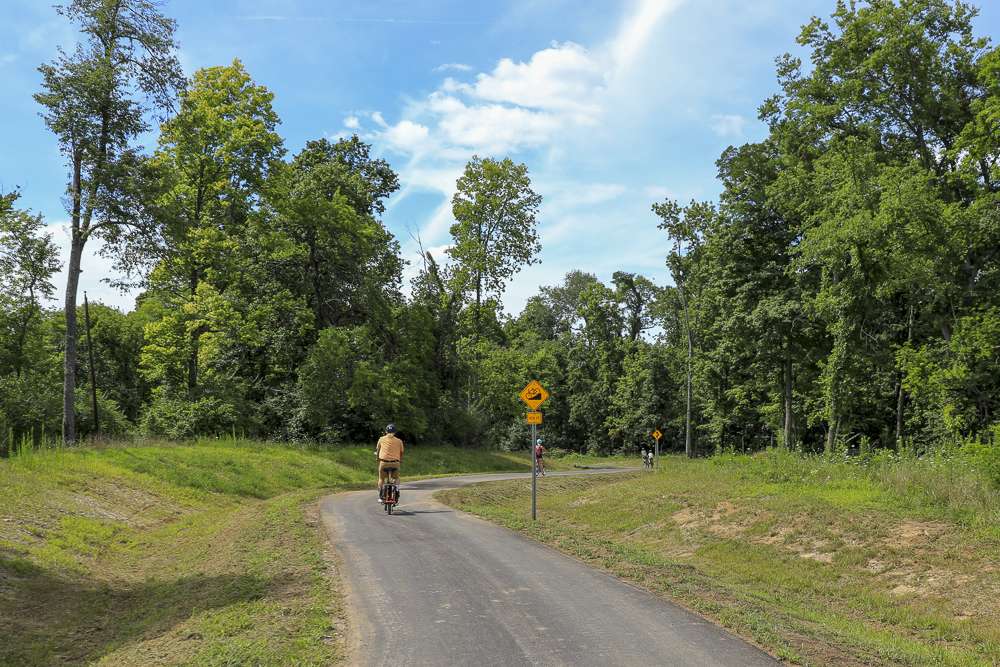
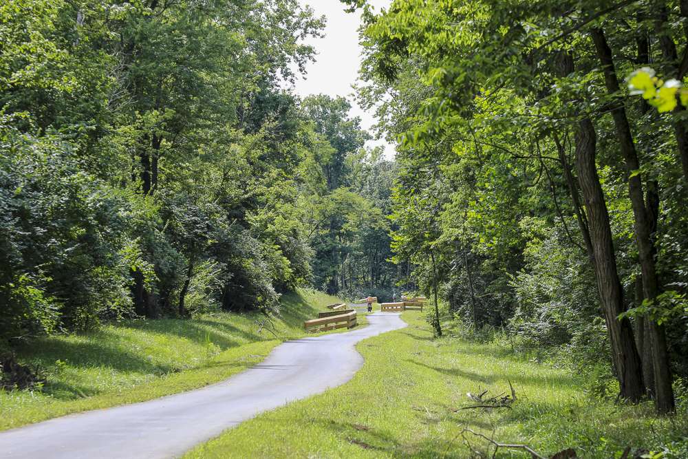
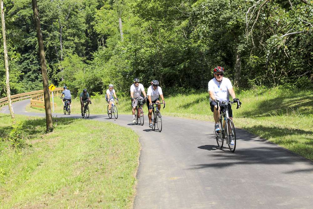
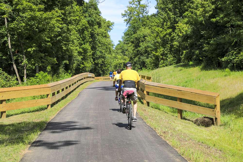
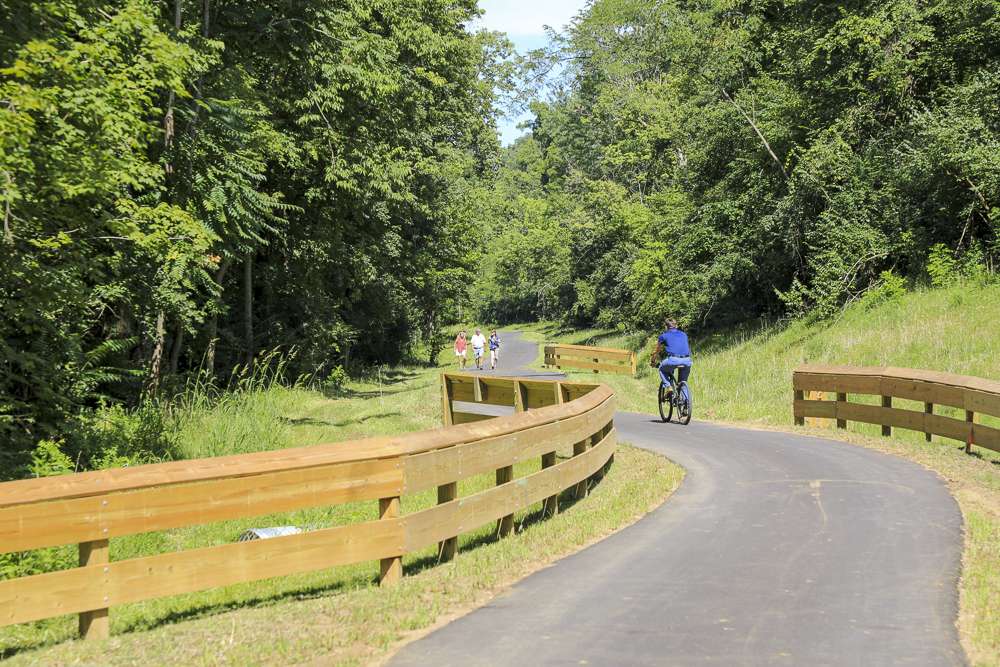
Great Miami River Trail
This trail meanders through the Great Miami River Valley from Fairfield to Hamilton and from Middleton to Piqua. One day, we hope the GMRT can fully connect Cincinnati to Dayton.

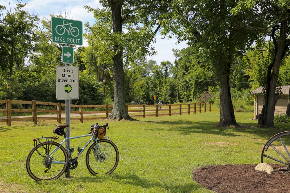
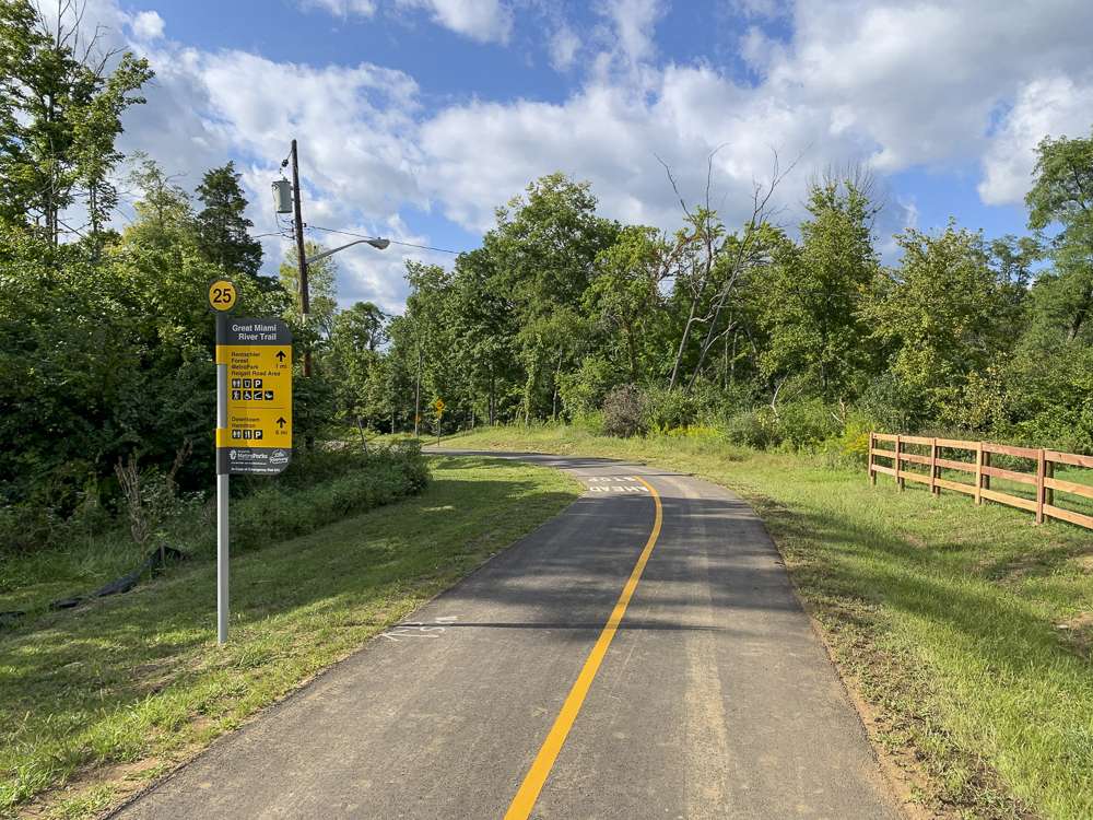
Hugging the Great Miami River Valley for nearly all its route, this winding trail follows US Bike Route 25 and in some places the former Miami and Erie Canal. It passes through a dozen charming downtowns, including Hamilton, Fairfield, Middletown, Franklin, and Dayton. Each unique city offers plenty of opportunity for culture, sightseeing and dining, while nearby parkland and nature preserves are home to a variety of native wildlife.
The valley’s gently rolling hills provide an enjoyable terrain for runners, walkers and cyclists, as well as unmatched river views. Thanks to easy access to bike repair stations, bike stairs and ramps, the Great Miami River Trail was named Best Bike Trail in Ohio by Ohio Magazine in 2019.
Who it’s great for
Bicyclists, walkers, joggers, skaters, nature lovers
What to look for
Wildlife like blue heron, kingfisher, beaver, white-tailed deer and a variety of fish and aquatic life
Where to visit
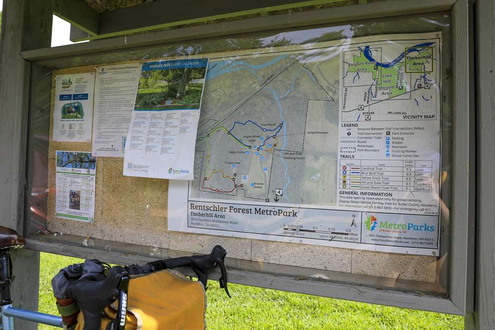
Joyce Park; Fitton Center for the Creative Arts; Rentschler Forest; Historic downtowns in Hamilton, Middletown, and Franklin


LENGTH
11.2 miles from Fairfield to Hamilton
77 miles from Middletown to Piqua
TERRAIN
Paved, flat, river valley
DIFFICULTY LEVEL
Easy to moderate
CONNECTING TRAILS:
US Bike Route 25, Hamilton Beltline, and Miami Valley trails like Wolf Creek Trail, Mad River Trail, Stillwater Trail, Ohio-to-Indiana Trail, and Dayton Kettering Connector
END POINTS:
Waterworks Park in Fairfield to Rentschler Forest in Fairfield Township
Trenton Trailhead south of Middletown to Lock Nine Park in Piqua
COUNTIES:
Butler, Warren, Montgomery, Miami, Butler, Shelby
LEARN MORE:

-5644")
CVG Loop Trail
CVG Loop Trail
Led by Boone County Fiscal Court, the Tower Loop Trail has made significant progress over the past several years. Nearly all the funds needed to finish the proposed 19.2 mile trail loop have been secured. Trail planning and design is underway, with construction of several trail extensions scheduled to take place over the coming years. For
-9585")
Lebanon-Countryside YMCA Trail
Lebanon-Countryside YMCA Trail
The Lebanon-Countryside YMCA Trail provides a direct, shared-use path connecting Historic Downtown Lebanon in the heart of Warren County and the Little Miami Scenic Trail, accessing numerous local attractions along the way and nearby. The paved terrain is mostly flat – with a few hills to keep things interesting throughout – providing an easy-to-moderate trail
-6793")
Oxford Area Trails
Oxford Area Trails
Oxford Area Trails make up a growing network of paved and accessible multi-use paths, connecting the wide variety of destinations the city and surrounding areas have to offer—from the Miami Natural Area Nature Paths to the city’s vibrant Uptown business district and everything in between.

CROWN
CROWN
The CROWN (Cincinnati Riding Or Walking Network) is a vision for a 34 mile urban, off-road trail loop in the heart of the Queen City. With nearly 24 miles complete, CROWN consists of four major trails already in development: Wasson Way, Little Miami Scenic Trail, Ohio River Trail, and Mill Creek Greenway.

Wasson Way
Wasson Way
Currently the Wasson Way trail runs for 3.5 miles from Old Red Bank Road at the edge of Ault Park to Montgomery Road at the edge of Xavier University.
-8185")
Riverfront Commons
Riverfront Commons
A recreational trail project connecting northern Kentucky river cities along the Ohio River.

Whitewater Canal Trail
Whitewater Canal Trail
Following a historic canal route through Indiana’s Whitewater River Valley, this trail offers undisturbed views of aqueducts, locks and wildlife.

Licking River Greenway Trail
Licking River Greenway Trail
Covington’s riverfront boasts a 2-mile braided trail network featuring a natural surface trail along the river, a paved multi-use trail on the levee, and a series of murals.

Mill Creek Greenway Trail
Mill Creek Greenway Trail
Once infamous as one of “America’s most endangered rivers,” the Mill Creek now proudly showcases diverse wildlife, public art, and an edible forest garden along its multi-use trail.
")
Ohio River Trail
Ohio River Trail
The Ohio River Trail – part of the 300+-mile Ohio-to-Erie Trail – is an in-progress multi-use path that, once completed, will stretch from Dearborn County in southeast Indiana across Hamilton County’s riverfront to Five Mile Road in Anderson Township.