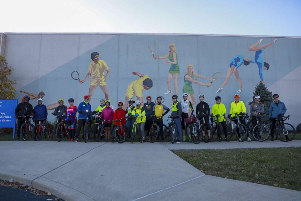
Lebanon-Countryside YMCA Trail
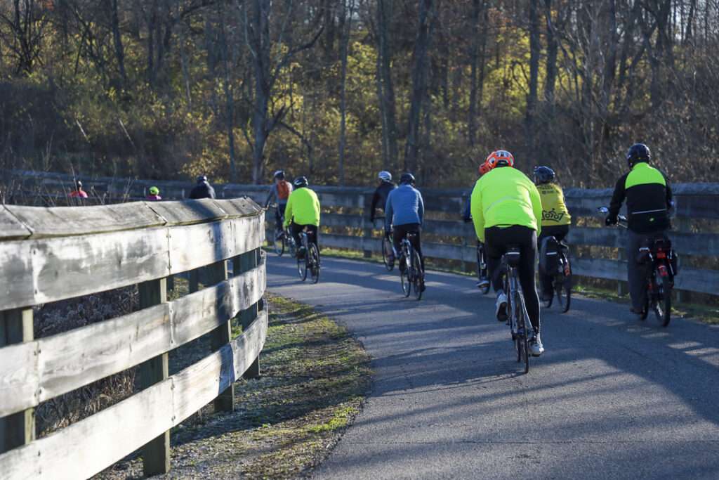
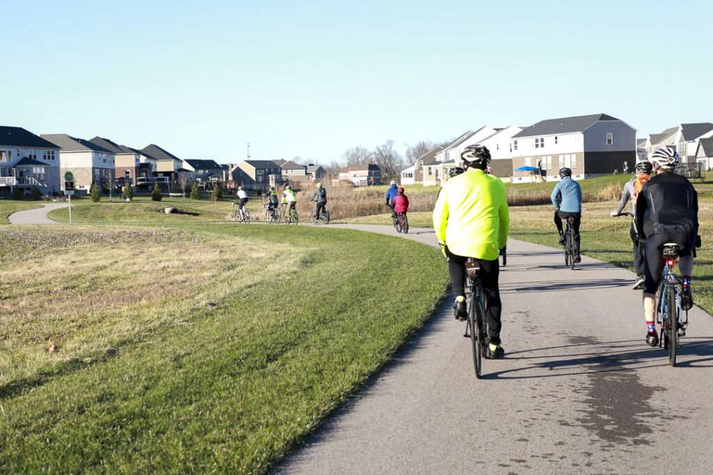
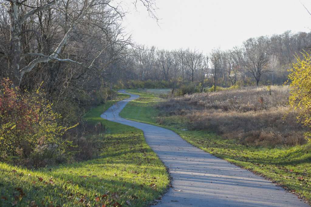
The Lebanon-Countryside YMCA Trail provides a direct, shared-use path connecting Historic Downtown Lebanon in the heart of Warren County, Ohio and the Little Miami Scenic Trail, accessing numerous local attractions along the way and nearby. The paved terrain is mostly flat – with a few hills to keep things interesting throughout – providing an easy-to-moderate trail experience for walkers, joggers, cyclists and nature lovers.

The City of Lebanon in Warren County owns and maintains roughly 13 miles of existing, paved trail, including the Lebanon-Countryside YMCA Trail and its multiple off-shoots. Lebanon’s overarching and expanding trail network advances the city’s mission to create and cultivate more active transportation connectivity for both residents and visitors to the city’s historic town center.
The primary trail travels nearly 10 miles from the heart of Historic Downtown Lebanon to its southern terminus at the Little Miami Scenic Trail, between its Kings Mills and South Lebanon trail access points (passing its namesake Countryside YMCA along the way). The numerous existing off-shoot trails total between an additional 3 miles and extend north to both Turtle Creek Nature Preserve and Colonial Park, as well as to the east and south, connecting to Harmon Park, Premiere Health Bike Park, and all the way to Mason Sports Park. Its connection to the Little Miami Scenic Trail opens even farther-reaching connections throughout southwest and central Ohio beyond the greater Lebanon area.
The trail is paved and mostly flat, although there are a few hilly stretches. Among its many attractions, the Premier Health Bike Park offers a variety of surfaces for cyclists looking for a natural surface experience.
Who it’s great for
Joggers, walkers, hikers, nature lovers, cyclists
What to look for
- Historic Downtown Lebanon
- Harmon Museum
- Harmon Park
- Ida Juris Bennett Dog Park
- Premiere Health Atrium Medical Center Bike Park
- Mason Sports Park


LENGTH
10 miles, with over 3 miles of existing trail branches
TERRAIN
Paved
DIFFICULTY LEVEL
Easy-moderate
END POINTS
Historic Downtown Lebanon to the Little Miami Scenic Trail
COUNTIES
Warren
LEARN MORE
Lebanon, Ohio Parks & Recreation Department
Premiere Health Atrium Medical Center Bike Park

-5644")
CVG Loop Trail
CVG Loop Trail
Led by Boone County Fiscal Court, the Tower Loop Trail has made significant progress over the past several years. Nearly all the funds needed to finish the proposed 19.2 mile trail loop have been secured. Trail planning and design is underway, with construction of several trail extensions scheduled to take place over the coming years. For
-6793")
Oxford Area Trails
Oxford Area Trails
Oxford Area Trails make up a growing network of paved and accessible multi-use paths, connecting the wide variety of destinations the city and surrounding areas have to offer—from the Miami Natural Area Nature Paths to the city’s vibrant Uptown business district and everything in between.

CROWN
CROWN
The CROWN (Cincinnati Riding Or Walking Network) is a vision for a 34 mile urban, off-road trail loop in the heart of the Queen City. With nearly 24 miles complete, CROWN consists of four major trails already in development: Wasson Way, Little Miami Scenic Trail, Ohio River Trail, and Mill Creek Greenway.

Wasson Way
Wasson Way
Currently the Wasson Way trail runs for 3.5 miles from Old Red Bank Road at the edge of Ault Park to Montgomery Road at the edge of Xavier University.
-8185")
Riverfront Commons
Riverfront Commons
A recreational trail project connecting northern Kentucky river cities along the Ohio River.

Whitewater Canal Trail
Whitewater Canal Trail
Following a historic canal route through Indiana’s Whitewater River Valley, this trail offers undisturbed views of aqueducts, locks and wildlife.

Licking River Greenway Trail
Licking River Greenway Trail
Covington’s riverfront boasts a 2-mile braided trail network featuring a natural surface trail along the river, a paved multi-use trail on the levee, and a series of murals.

Mill Creek Greenway Trail
Mill Creek Greenway Trail
Once infamous as one of “America’s most endangered rivers,” the Mill Creek now proudly showcases diverse wildlife, public art, and an edible forest garden along its multi-use trail.
")
Ohio River Trail
Ohio River Trail
The Ohio River Trail – part of the 300+-mile Ohio-to-Erie Trail – is an in-progress multi-use path that, once completed, will stretch from Dearborn County in southeast Indiana across Hamilton County’s riverfront to Five Mile Road in Anderson Township.
-2731")