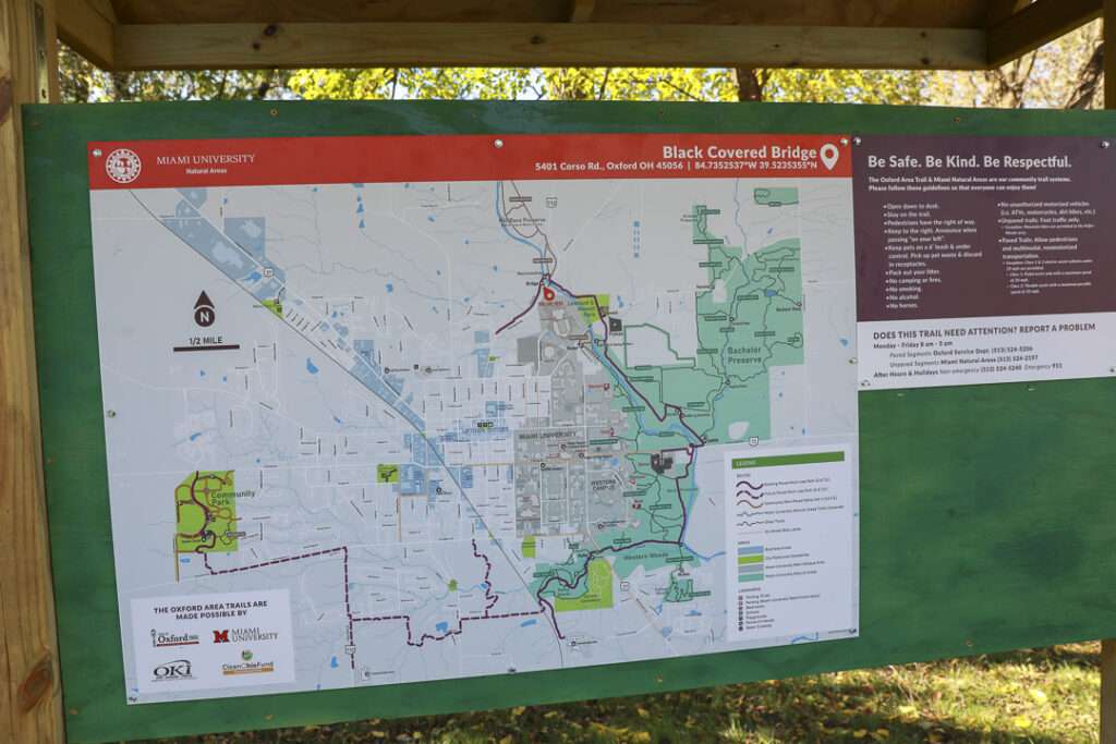
Oxford Area Trails
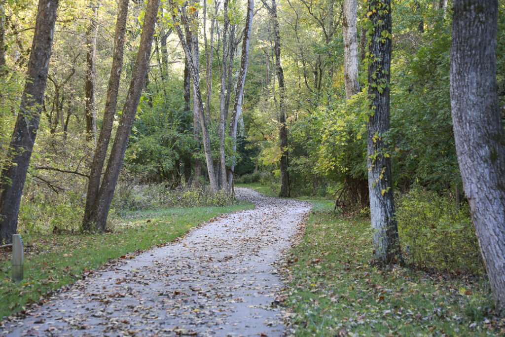
Oxford Area Trails make up a growing network of paved and accessible multi-use paths, connecting the wide variety of destinations the City of Oxford, Ohio and surrounding areas have to offer - from the Miami Natural Area Nature Paths to the city’s vibrant Uptown business district and everything in between.

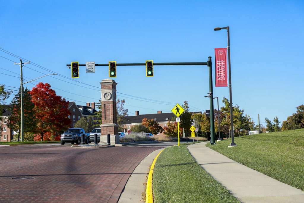
Oxford Area Trails have embarked on a mission to connect all corners of Oxford in Butler County, Ohio, via a loop of paved and accessible trails surrounding the city, reaching both inward to Miami University and the city’s Uptown district (High Street) as well as outward into Butler County’s more idyllic landscapes and natural-surface trail networks.
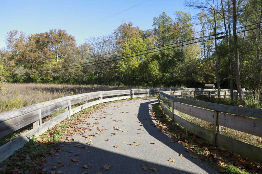
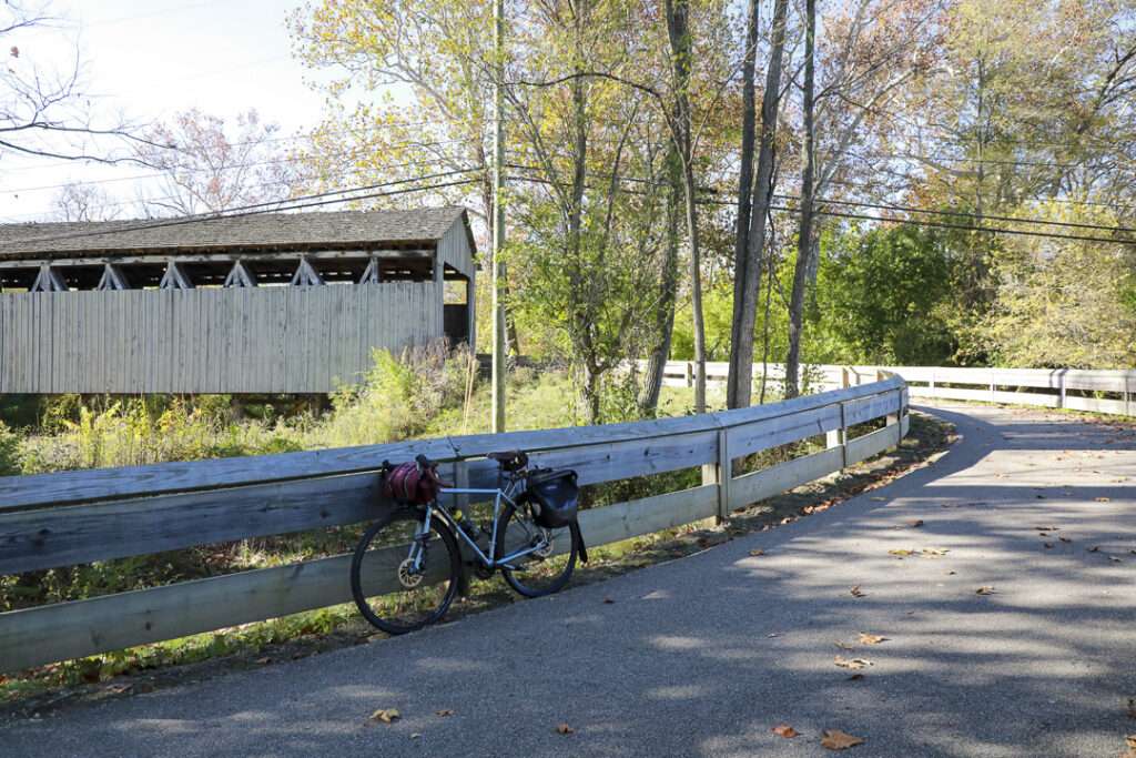
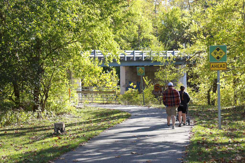
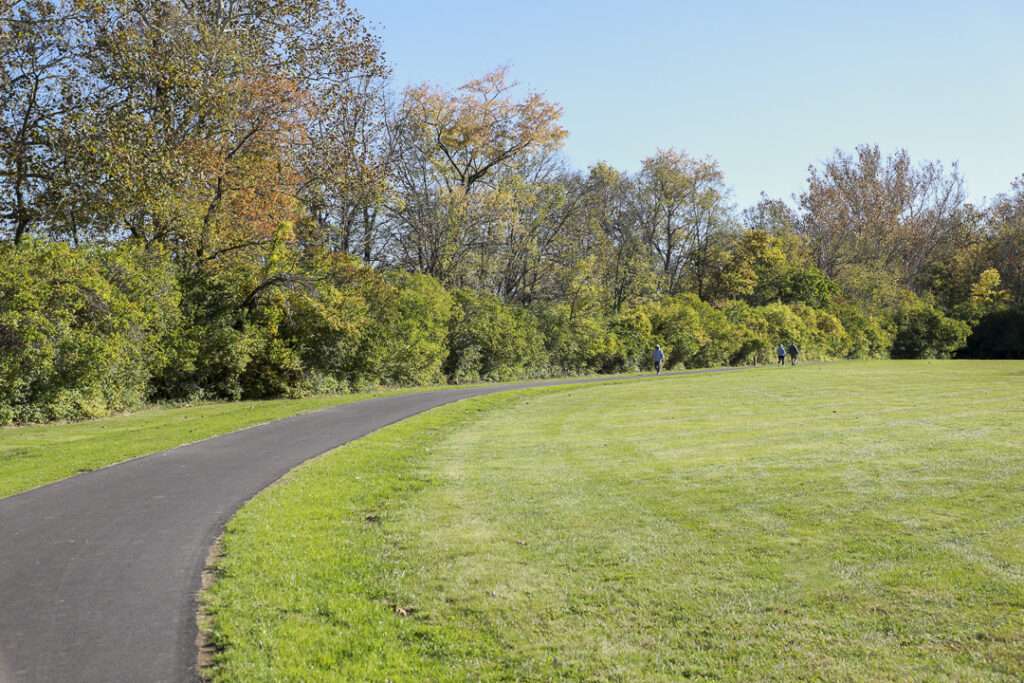
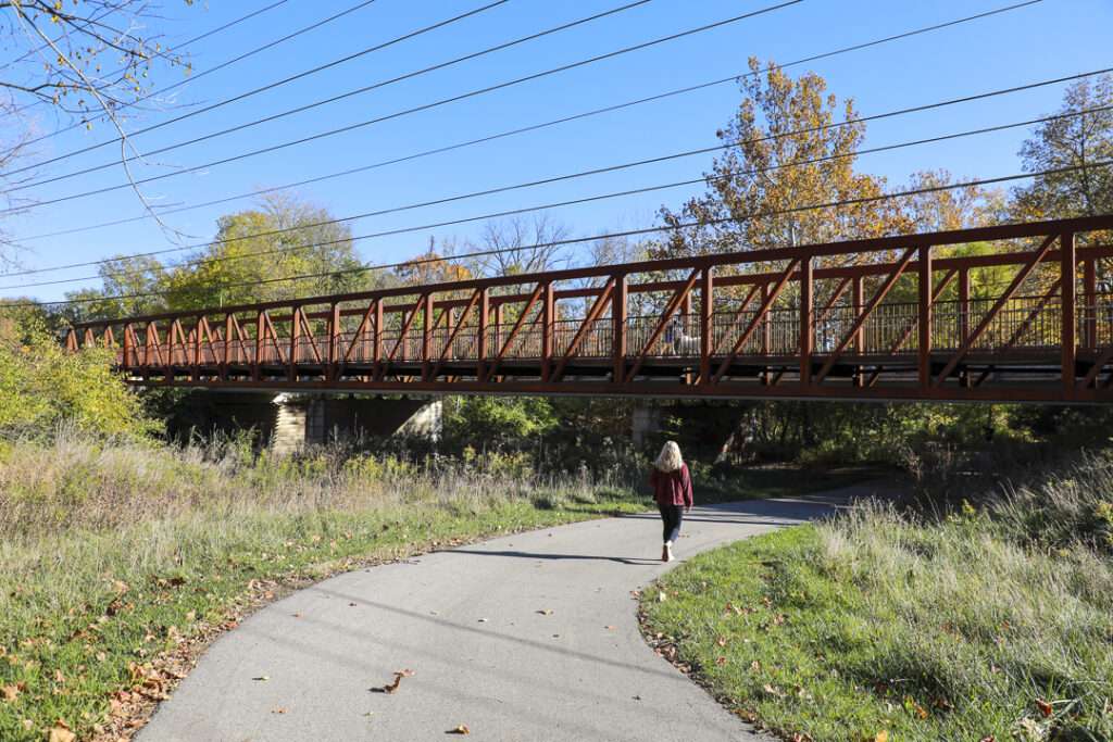
Currently, 12 miles of paved trails are planned that will encircle the City of Oxford, connecting schools, parks, historic sites, and transit connections. As of early 2024, roughly 5.5 miles have been completed, hugging the university campus’ southeastern corner before heading north across Trenton-Oxford Road (SR 73) to Leonard G. Howell Park and the Black Covered Bridge.
Future connections are beginning the construction phase, which will extend west from Peffer Park, connecting to the Talawanda middle and high schools, Oxford Community Park, as well as to multiple residential neighborhoods, and Oxford’s planned multimodal transportation hub and Amtrak station.
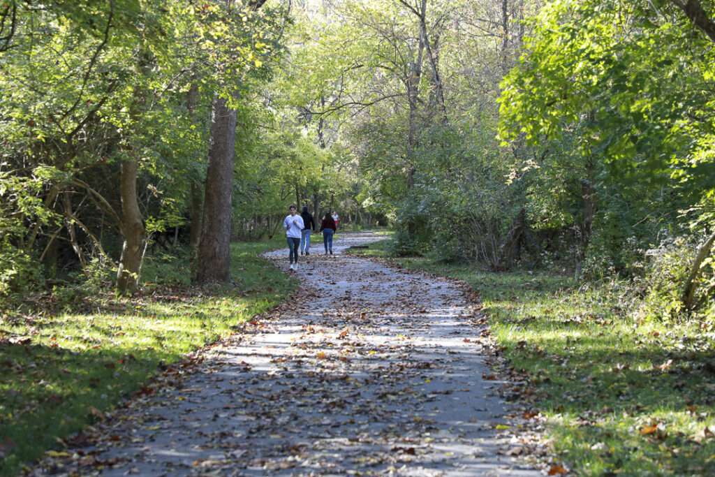
Who it’s great for
Joggers, walkers, hikers, nature lovers, cyclists
What to look for
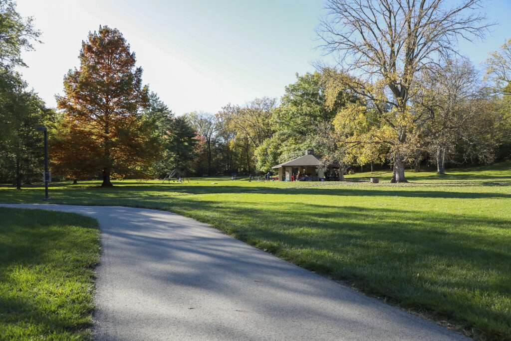
Peffer Park
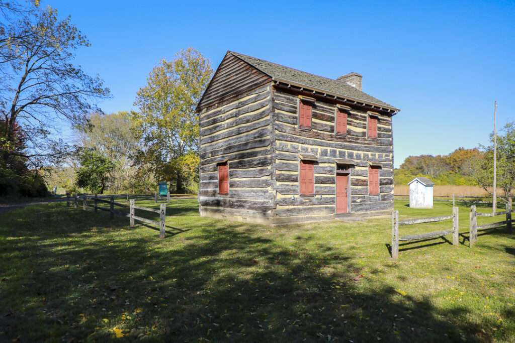
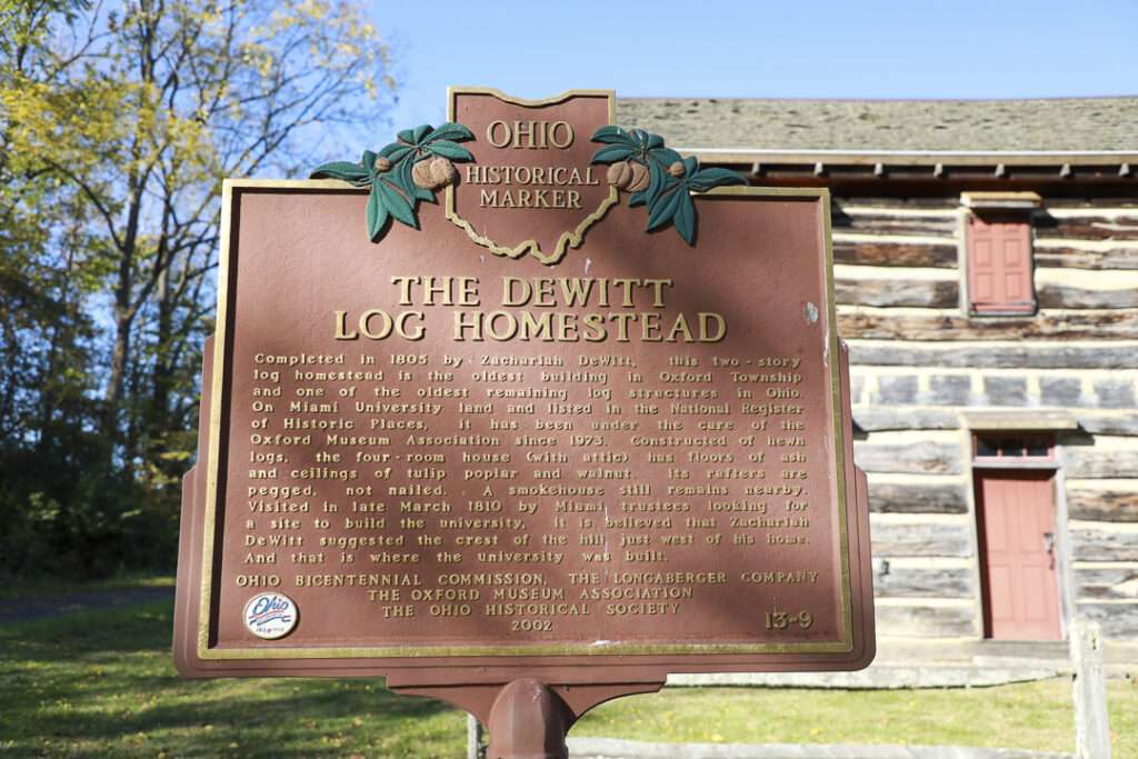
Dewitt Log Homestead (trailhead on SR 73 connects to nearby Miami Natural Area Nature Paths)
Bird blind
Leonard G. Howell Park
Black Covered Bridge
Where to visit
Peffer Park, Dewitt Log Homestead & Park, Leonard G. Howell Park, Black Covered Bridge, Miami University, Miami Natural Area Nature Paths, Uptown Oxford
LENGTH
- 11 miles of multi-use path
- 2 additional miles underway
- Over 20 miles of unpaved hiking trails
TERRAIN
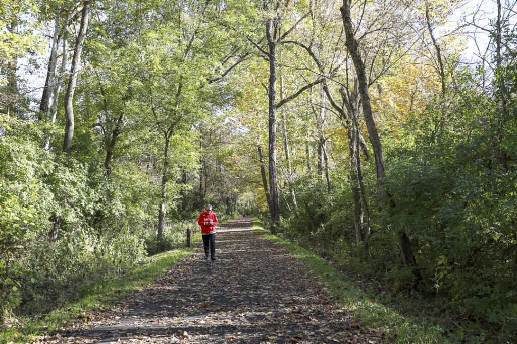
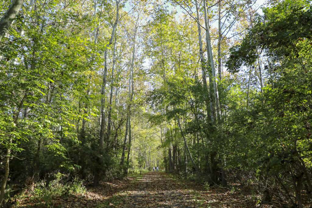
Paved (some crushed stone) multi-use paths, connections to natural surface trails
DIFFICULTY LEVEL
Easy-moderate
END POINTS
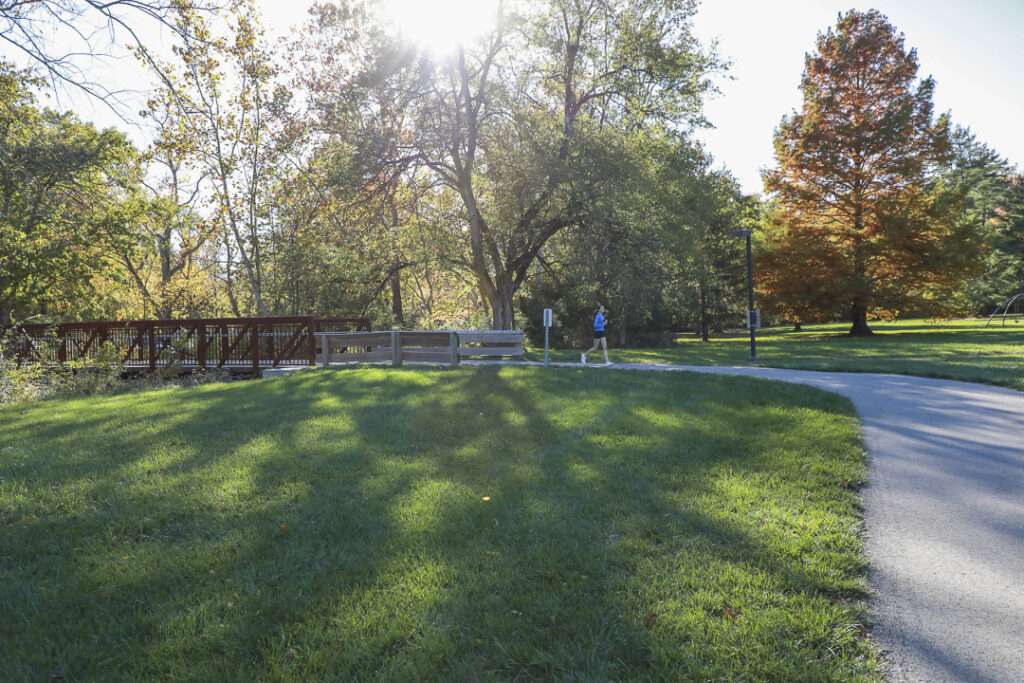
From Peffer Park on Millville Oxford Road to Kelly Drive on Morning Sun Road, with trailheads at Peffer Park, Dewitt Homestead Park, Leonard G. Howell Park and the Black Covered Bridge.
COUNTIES
Butler
LEARN MORE
Oxford Area Trails System StoryMap
Oxford Area Trails User Guidelines

-5644")
CVG Loop Trail
CVG Loop Trail
Led by Boone County Fiscal Court, the Tower Loop Trail has made significant progress over the past several years. Nearly all the funds needed to finish the proposed 19.2 mile trail loop have been secured. Trail planning and design is underway, with construction of several trail extensions scheduled to take place over the coming years. For
-9585")
Lebanon-Countryside YMCA Trail
Lebanon-Countryside YMCA Trail
The Lebanon-Countryside YMCA Trail provides a direct, shared-use path connecting Historic Downtown Lebanon in the heart of Warren County and the Little Miami Scenic Trail, accessing numerous local attractions along the way and nearby. The paved terrain is mostly flat – with a few hills to keep things interesting throughout – providing an easy-to-moderate trail

CROWN
CROWN
The CROWN (Cincinnati Riding Or Walking Network) is a vision for a 34 mile urban, off-road trail loop in the heart of the Queen City. With nearly 24 miles complete, CROWN consists of four major trails already in development: Wasson Way, Little Miami Scenic Trail, Ohio River Trail, and Mill Creek Greenway.

Wasson Way
Wasson Way
Currently the Wasson Way trail runs for 3.5 miles from Old Red Bank Road at the edge of Ault Park to Montgomery Road at the edge of Xavier University.
-8185")
Riverfront Commons
Riverfront Commons
A recreational trail project connecting northern Kentucky river cities along the Ohio River.

Whitewater Canal Trail
Whitewater Canal Trail
Following a historic canal route through Indiana’s Whitewater River Valley, this trail offers undisturbed views of aqueducts, locks and wildlife.

Licking River Greenway Trail
Licking River Greenway Trail
Covington’s riverfront boasts a 2-mile braided trail network featuring a natural surface trail along the river, a paved multi-use trail on the levee, and a series of murals.

Mill Creek Greenway Trail
Mill Creek Greenway Trail
Once infamous as one of “America’s most endangered rivers,” the Mill Creek now proudly showcases diverse wildlife, public art, and an edible forest garden along its multi-use trail.
")
Ohio River Trail
Ohio River Trail
The Ohio River Trail – part of the 300+-mile Ohio-to-Erie Trail – is an in-progress multi-use path that, once completed, will stretch from Dearborn County in southeast Indiana across Hamilton County’s riverfront to Five Mile Road in Anderson Township.
-2731")