Maps

Find your path forward
Whether it's exploring a new trail, planning your first bike commute, or making the case for active transportation investments in your neighborhood - we can point you in the right direction.
")
Regional Trails Plan
Regional Trails Plan
Regional Trails Plan With over 200 local governments in the tri-state region, we’re helping partners work together toward a shared vision for connected multi-use trails and bikeways. View larger map About the Regional Trails Plan Our Regional Trails Plan was originally developed in 2014 through a collaborative community engagement process with local government partners and…

Bike Commuting Resources
Bike Commuting Resources
Bike Commuting Resources Thinking about commuting by bike? Whether it’s to the office, the park, or the grocery store, you can use these tools and tips to plan your trip. View larger map SPONSORS ESSENTIALS FOR RIDING BE SAFE & SMART RIDE LIKE A VEHICLE IN THE ROAD BE COURTEOUS ON THE TRAIL Thank you…

Crash Dashboard
Crash Dashboard
Crash Dashboard Open Interactive Map Preview modal- Vision Zero Crash Dashboard Crossing the street shouldn’t involve taking your life into your hands. Riding a bicycle shouldn’t be an act of bravery. But far too often, participating in traffic as a vulnerable road user results in senseless loss of life. It’s easy to become numb to…
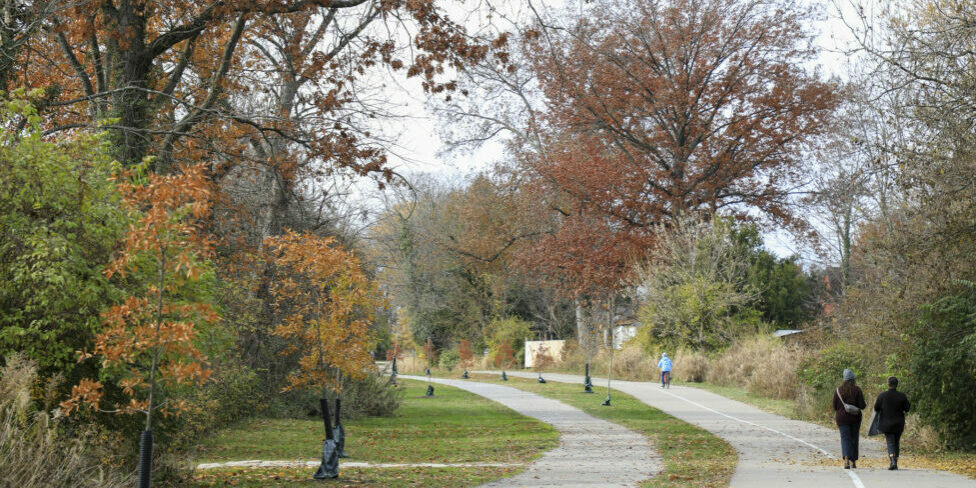
Find a Trail
Find a Trail
Find A Trail With more than 840 miles of trails weaving through Greater Cincinnati, you’re never far from a scenic place to walk, bike or explore the great outdoors. We’ll see you on the trail! View larger map Tri-State Trails thanks all of our partners and their data contributions to this map. Without their help,…


You can help us build a more connected region.
Want to get involved?
We’re here to show you the many ways you can help us build a more connected Tri-State.
