
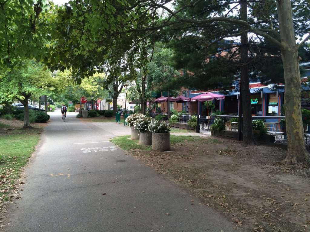
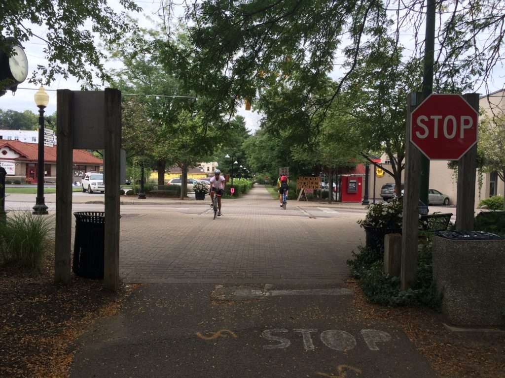
Little Miami Scenic Trail
Traversing 78 miles along the Little Miami State and National Scenic River, this trail was one of the first rail-to-trail projects in the country and remains one of the longest multi-use trails in the United States.
One of Greater Cincinnati’s most widely used trails, the Little Miami Scenic Trail’s wooded terrain attracts bikers, walkers and outdoor enthusiasts of all ages and backgrounds. As it follows the banks of the Little Miami River, the trail passes trailside parks, canoe rentals and charming cities and towns.
Whether you plan to hit the trail for a quick jaunt or embark on an overnight excursion, you’ll enjoy convenient access to bike rental and repair stations, campgrounds and restroom facilities. Parking is available at many trailheads from Newtown to Springfield. As the southern leg of the Ohio-to-Erie Trail and US Bike Route 21, this trail runs 326 miles from Cincinnati to Cleveland. In 2022, the Little Miami Scenic Trail will connect to Lunken Airport, Otto Armleder Park and the Ohio River Trail for an even longer journey to downtown Cincinnati, Northern Kentucky, and New Richmond. About 50 miles of the trail through Little Miami State Park are maintained by the Ohio Department of Natural Resources.
Who it’s great for
Bicyclists, walkers, joggers, skaters, horseback riders
What to look for
Remnants of the old railroad track on which this “rail trail” was built
Where to visit
Historic downtowns in Loveland, Milford, and Lebanon; Caesar Creek State Park; Xenia Station; Yellow Springs; John Bryan State Park


LENGTH
78 miles
TERRAIN
Paved, wooded, urban
DIFFICULTY LEVEL
Easy to moderate
CONNECTING TRAILS:
Ohio River Trail, Countryside YMCA Trail, Ohio-to-Erie Trail, US Bike Route 21, Miami Valley Trail Network
END POINTS:
Newtown, Ohio, to Springfield, Ohio
COUNTIES:
Hamilton, Clermont, Warren, Greene, Clark
LEARN MORE:
Friends of Little Miami State Park

-9585")
Lebanon-Countryside YMCA Trail
Lebanon-Countryside YMCA Trail
The Lebanon-Countryside YMCA Trail provides a direct, shared-use path connecting Historic Downtown Lebanon in the heart of Warren County and the Little Miami Scenic Trail, accessing numerous local attractions along the way and nearby. The paved terrain is mostly flat – with a few hills to keep things interesting throughout – providing an easy-to-moderate trail
-6793")
Oxford Area Trails
Oxford Area Trails
Oxford Area Trails make up a growing network of paved and accessible multi-use paths, connecting the wide variety of destinations the city and surrounding areas have to offer—from the Miami Natural Area Nature Paths to the city’s vibrant Uptown business district and everything in between.

CROWN
CROWN
The CROWN (Cincinnati Riding Or Walking Network) is a vision for a 34 mile urban, off-road trail loop in the heart of the Queen City. With nearly 24 miles complete, CROWN consists of four major trails already in development: Wasson Way, Little Miami Scenic Trail, Ohio River Trail, and Mill Creek Greenway.

Wasson Way
Wasson Way
Currently the Wasson Way trail runs for 3.5 miles from Old Red Bank Road at the edge of Ault Park to Montgomery Road at the edge of Xavier University.
-8185")
Riverfront Commons
Riverfront Commons
A recreational trail project connecting northern Kentucky river cities along the Ohio River.

Whitewater Canal Trail
Whitewater Canal Trail
Following a historic canal route through Indiana’s Whitewater River Valley, this trail offers undisturbed views of aqueducts, locks and wildlife.

Licking River Greenway Trail
Licking River Greenway Trail
Covington’s riverfront boasts a 2-mile braided trail network featuring a natural surface trail along the river, a paved multi-use trail on the levee, and a series of murals.

Mill Creek Greenway Trail
Mill Creek Greenway Trail
Once infamous as one of “America’s most endangered rivers,” the Mill Creek now proudly showcases diverse wildlife, public art, and an edible forest garden along its multi-use trail.

-2731")
